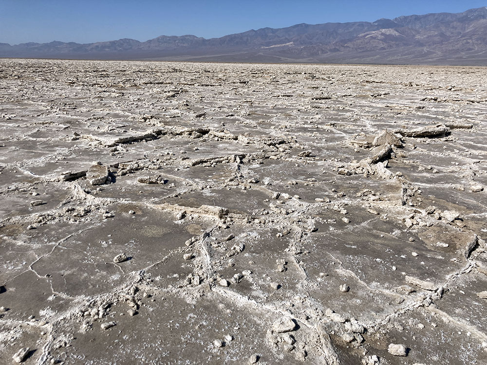
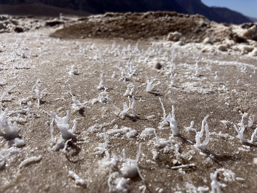
This trail consists of a two mile, straight-line, out-and-back into the heart of Death Valley National Park. This is the lowest point in North America and it is weird. The mile out to the salt flats is a straight line without any cover. Along the way, the terrain gradually changes from a smooth, well-worn, salt-covered path into a an area of exploding, polygonal-shaped plates erupting in all directions. At the end of the trail, close inspection revealed tiny, intricate, tree-like structures of salt growing out of the erupting earth.
AllTrails Recording
Image Gallery
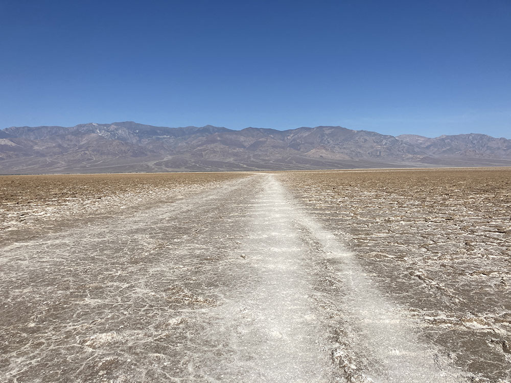
- Looking West The beginning of the mile stretch west to the salt flats.
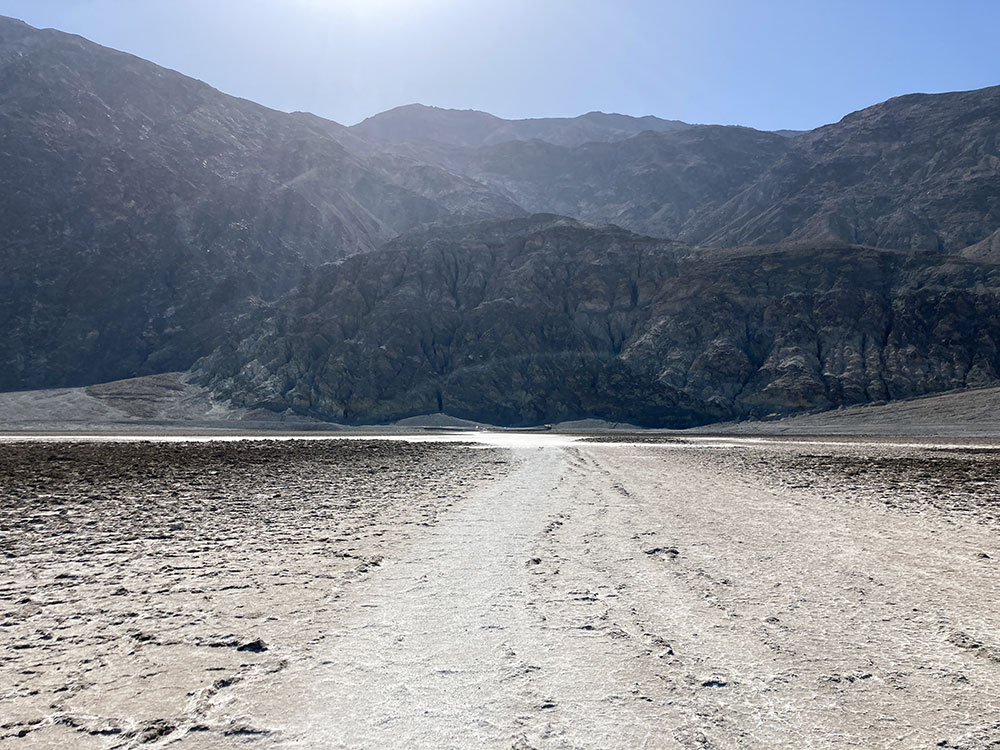
- Looking Back East A little further on, I turned back to take this shot. Dante's View is in the mountains in the back.
- Salt Flats The salt flats are at the end of the hike.
- Salt Trees These are the tiny, tree-like structures growing out of the salt flats.
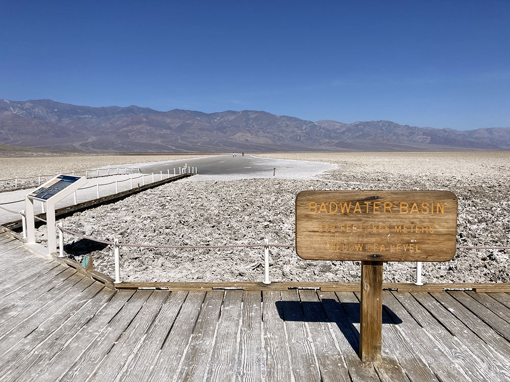
- Badwater Basin The platform near Badwater Basin looking west.
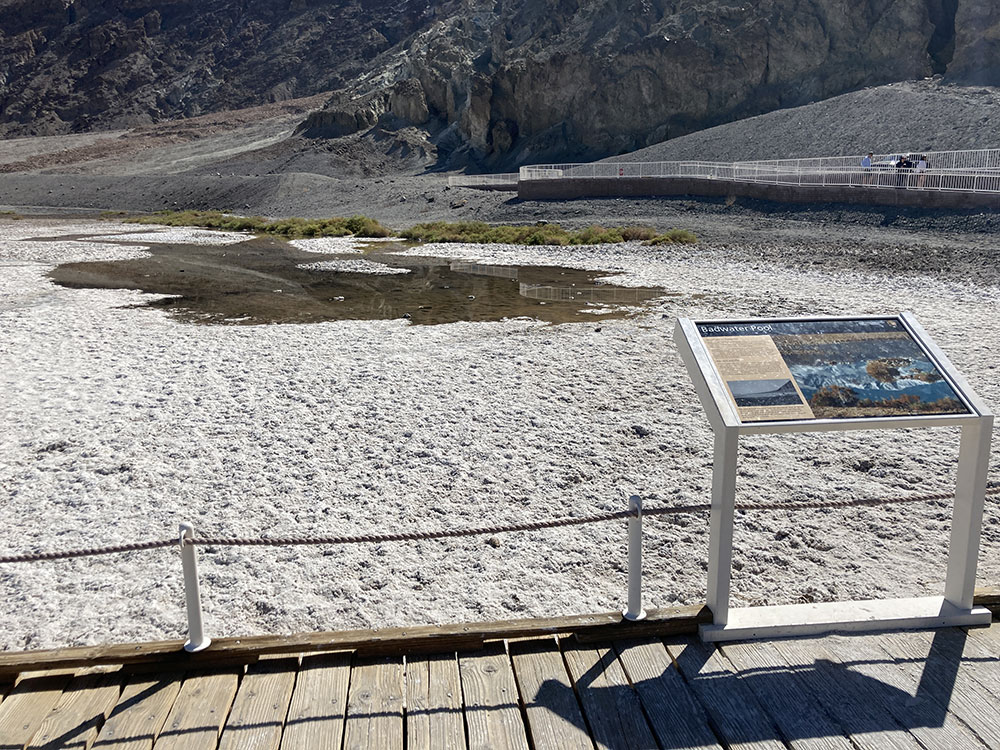
- Badwater Pool
Video Gallery
- Badwater Salt Flats View Location About a mile's hike from Badwater Basin, you reach the salt flats, which are characterized by polygonal plates of the ground erupting and covered in salt. If you look closely, you'll see delicate, tree-like structures growing-up from the surface.
© 2026 0degreesK